
Final Presentation Improved Location Mapping Using Imaging Radars, GNSS and Point-Cloud Registration
Last Updated: Created at:
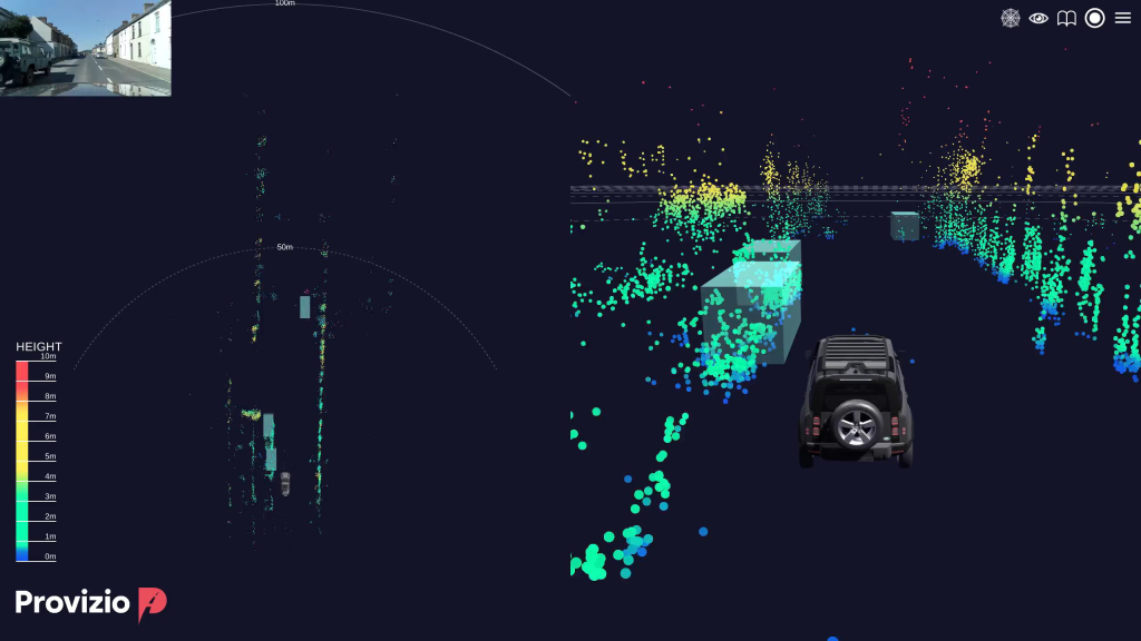
The team designed a scan-matching radar odometry algorithm using only radar point cloud data—without relying on IMUs or prior maps. They implemented adaptive Kalman filtering, dynamic search ranges, and error function optimization to estimate ego-motion in real time. The algorithm was validated through extensive testing, including straight-road and cornering scenarios, and demonstrated angular and distance deviations well within specification.
Final performance testing confirmed compliance with radar specifications (range, resolution, field of view, angular accuracy), and the algorithm successfully supported SLAM and perception functions during GNSS outages.
The project was supported by NAVISP Element 2. The slides of the final presentation are available here.