
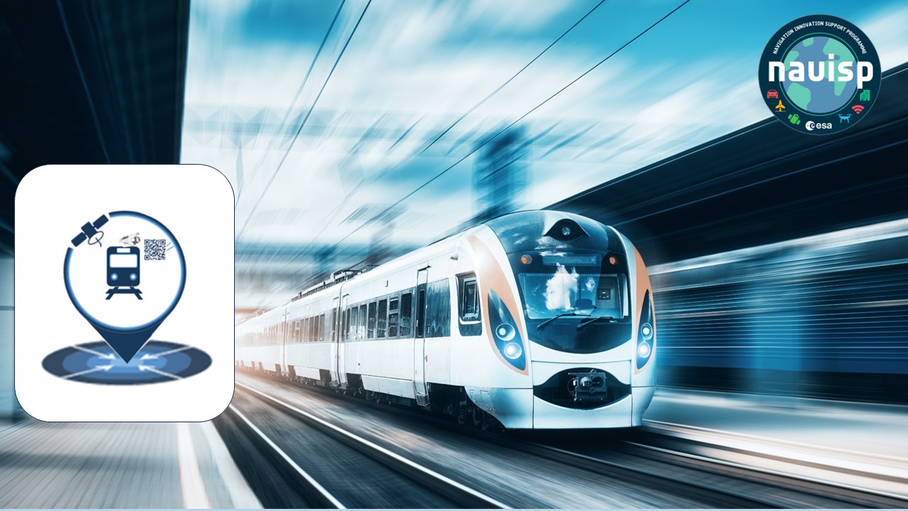
Assisted GNSS with Imaging sensors for Rail applications
Last Updated: 22/01/2024 10:00 Created at: 22/01/2024 09:40
Final Presentation of NAVISP Project EL2-123 now available:
On Thursday, January 18th, 2024, Intecs Solutions S.P.A. presented the results of the NAVISP EL2-123 project "Assisted GNSS with Imaging sensors for Rail applications (AGIS4RAIL)". Over 50 people from industry and research institutes followed the interesting presentation and the subsequent interactive Q&A session.
Railway signalling systems serve the purpose of regulating rail traffic to prevent accidents and ensure the smooth flow of overall traffic. Therefore, accurately knowing the positions of different trains on the tracks is crucial for effective and safe traffic control. The European standard for achieve railway interoperability is called European Rail traffic Management system (ERTMS), which makes use of balises, an electronic beacon placed between the rails as part of an automatic train protection system, to determine the position of a train. A significant challenge in the current system is the Start of Mission (SOM) along the track. When a train loses its position, it must operate at low speed until it reads the next balise to re-establish its position. After this, the train can resume its journey at the intended speed. This process may result in delays and reduced capability, impacting other trains in the line as well.
In this context, the AGIS4RAIL project had the aim to develop a solution to obtain the train absolute position exploiting a multi-sensor platform based on GNSS receivers and cameras, thereby reducing the latency in the train management system. This is done by reading QR-codes placed along the railway with a camera and also reading the estimated position from a GNSS receiver. The system has redundancy, with two cameras and two GNSS receivers, allowing for two position estimations. A voting system allows then to obtain a valid position.
AGIS4RAI works as follows: the developed product localizes the train before it reaches the next expected balise, reducing the track time mileage at safety obliged low speed during SoM. The train localization function combines GNSS positioning and the input from imaging sensors reading the QR codes installed in well-known locations through the railway network. The system scans the environment with the cameras waiting to acquire a QR-code. Upon the train's approach to the QR-code, AGIS4RAIL identifies and decodes its content. Then, the retrieved position is cross-checked through a voting procedure with the PVT solution provided by a GNSS receiver. To determine the specific crossing time and facilitate the comparison with the PVT solution, the camera frames' output is timestamped. Once the position has been verified, a telegram analogous to the one that would have been sent by a classical BTM (Balise Transmission Module) is sent to the EVC (ERTMS Vital Computer). Thus, AGIS4RAIL acts as a gap filler to determine the train position without waiting for the next balise, reducing the time required to reach full speed. In the case of reaching a balise before detecting a QR code, AGIS4RAIL acts in a transparent way, forwarding the telegram produced by the balise.
With the support of NAVISP, Intecs Solution has successfully developed a solution enhancing the performance of the positioning system in terms of availability and integrity. Imaging sensors provide additional information, improving resilience against jamming and spoofing attacks. The next phase involves integrating a third layer of sensors to further enhance the system's robustness and conducting an on-board testing campaign. This entails installing the solution on train control systems in a passive mode, with the aim of bringing the product closer to market in collaboration with partners in the railway industry.
The project was part of NAVISP Element 2, which aims to maintain and improve the capabilities and competitiveness of the participating States' industry in the global market for satellite navigation and, more broadly, PNT technologies and services.
More detailed information can be found in the slides of the Final Presentation.