
Leveraging Satellite Navigation Data for Enhanced Weather Forecasting: CAMALIOT
Last Updated: 09/10/2023 06:42 Created at: 09/10/2023 06:41
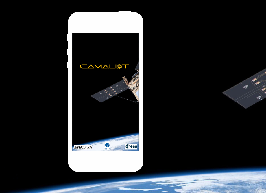
The CAMALIOT project, supported by Element 1 of ESA's Navigation Innovation and Support Programme, harnesses high-precision satellite navigation data obtained via the CAMALIOT app on Android smartphones to enhance the precision of weather forecasting. With nearly 13,000 users contributing over 260 billion measurements, this extensive dataset covers the global expanse.
The essence of this initiative lies in leveraging Global Navigation Satellite Systems (GNSS) along with machine learning algorithms, not just for accurate Positioning, Navigation, and Timing (PNT) applications but also to detect atmospheric disturbances. Weather scientists utilize the generated data to enhance weather forecasts and to predict space weather events.
The CAMALIOT app, accessible via Google's Play Store, constantly evolves. The latest update allows users to upload supplementary sensor data, enhancing the reliability and usefulness of the GNSS data collected. Future plans include the launch of an upgraded version to further advance weather forecasting and climatic modelling, showcasing the potential of satellite navigation data in enhancing predictive precision.
For additional information please click here .