Final Presentation NAVISP EL2-125 “Support for safe navigation in harsh water environment by enhancing positioning using 3D models, HD maps, real-time sensor data and AR navigation”
Start date: 18/07/2025 10:30
End date: 18/07/2025 12:00
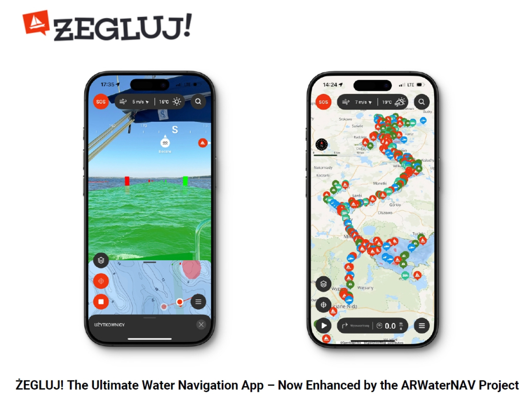
The final presentation of the ARWaterNAV activity, developed by INFEO Marcin Gryszko will showcase the results of this innovative project. ARWaterNAV is aimed at supporting safe navigation in challenging inland water environments by integrating high-resolution 3D models, HD maps, real-time sensor data, and an intuitive augmented reality (AR) navigation interface into the mobile application Żegluj.
The presentation will highlight key features implemented in the application, including intelligent route planning that considers passages between multiple inland water bodies, such as channels and locks. The system increases navigational safety through analysis of multiple factors—including AI-based insights derived from historical user navigation patterns—to propose safer, more efficient routes. An integrated AR interface displays navigation data in real time directly within the user’s field of view, helping users make informed decisions quickly and confidently.
Additional safety enhancements include a collision warning interface that visually and audibly alerts users when approaching hazardous areas or unsafe courses. The app also offers real-time presentation of navigation parameters, day/night display modes, integration with rescue services, and live location sharing between users. These features combine to deliver a comprehensive and modern navigation experience tailored to demanding water conditions.
This activity was co-funded under NAVISP Element 2, which aims to increase European competitiveness in Positioning, Navigation and Timing. Please check the agenda and register for the event to learn more about this project.

