
Development of cloud-based snapshot receiver that delivers high-precision positioning
Last Updated: 23/05/2023 11:32 Created at: 23/05/2023 11:31
Final Presentation of NAVISP Project EL2 127 now available!
On Friday, May 12th, 2023, Albora Technologies Limited presented the results of the NAVISP project “Cloud-based snapshot RTK receiver”. The presentation delivered was met with significant interest from both industry and research institutes, with an attendance of approximately 40 people.
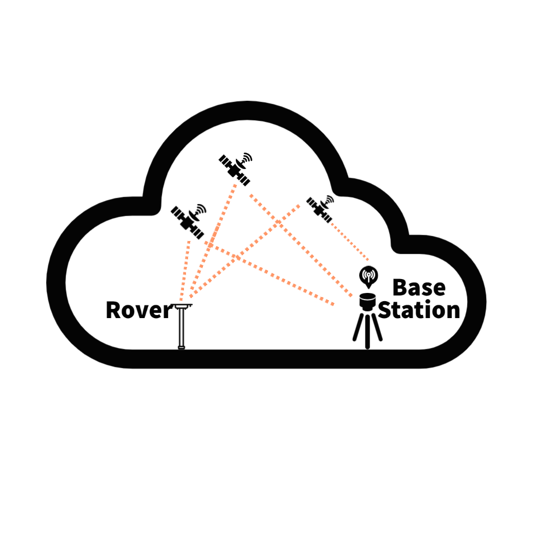
Global Navigation Satellite Systems (GNSS) have become the go-to technology for precise positioning. However, there's more to be gained. By integrating correction data from nearby base stations, GNSS receivers can achieve astounding centimetre-level accuracy, notably through the Real-Time Kinematics (RTK) technology. By seamlessly integrating data from a base station with local observables, RTK eradicates common errors like atmospheric-induced delays. For effective RTK implementation, key elements include a known base station location, a communication channel for correction data transmission, and access to carrier-phase measurements.
Albora introduced a cutting-edge cloud-based snapshot receiver that empowers users with exceptional precision in positioning through the utilization of RTK algorithms. By combining snapshot-based positioning with cloud-based RTK technology, their product enables a simple GNSS radiofrequency (RF) frontend with internet connectivity to send a raw sampled snapshot, resulting in near-real-time high-precision positioning. Unlike conventional closed-loop receivers that require lengthy warm-up times and continuous operation for decoding the navigation message, snapshot processing offers greater flexibility and on-demand usage, significantly reducing power consumption. The proposed Snapshot RTK (SRTK) receiver leverages the progress made in the development of a highly sensitive and robust interference mitigation snapshot receiver by Albora, offering the capacity to deliver standard accuracy positioning. By transmitting snapshots of raw I&Q samples from a receiver to a cloud server, Albora's proprietary algorithms can extract the necessary information. This process is supported by assistance navigation data, typically decoded by a standard receiver from the broadcasted signal and obtained from an assistance server, along with RTK correction data received from Albora's network of reference RTK base stations. Altogether, this comprehensive system enables the provision of high-precision positioning, reaching cm-level accuracy.
The use of cloud-based RTK algorithms in Albora's solution provides several advantages over traditional receivers. Advanced time synchronization algorithms allow nanosecond-level synchronization using short duration snapshots, while assistance information helps resolve data bit ambiguity for GPS L1CA. Additionally, the corrections are not directly sent to the receiver, reducing data costs, and the cloud service optimizes the management of GNSS corrections, always providing the best available corrections. Albora's software-centric approach ensures costless and seamless product upgrades, offering modularity and progressive enhancements in performance and functionality without requiring hardware replacements or service interruptions.
In conclusion, Albora's unique combination of state-of-the-art SRTK algorithms, standard hardware, and advanced software techniques creates a high-precision GNSS receiver with low-power consumption. This innovative technology paves the way for new applications and markets, specifically on the Internet of Things (IoT) and Location-Based Services (LBS) sectors, where the importance of heightened GNSS precision and minimized power consumption cannot be overstated. Potential use cases include precise location tracking of critical assets and vehicles in urban areas and industrial facilities, where the SRTK receiver's ability to switch to sleep mode during idle periods saves power, unlike conventional receivers that need continuous operation until a valid GNSS measurement can be obtained for an RTK solution. This technology can be particularly beneficial for a wide range of high-accuracy location services, including micro-mobility, geofencing for critical infrastructure, soft-indoor geolocation, locating sensitive assets, and supporting logistics operations, among others.
The project was part of NAVISP Element 2, which aims to maintain and improve the capabilities and competitiveness of the participating States' industry in the global market for satellite navigation and, more broadly, PNT technologies and services.
More detailed information can be found in the slides of the Final Presentation