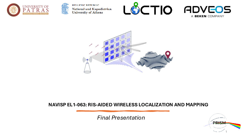
063 - RIS- Enabled Positioning And Mapping (PRISM)
Status: Completed
Activity Code: NAVISP-EL1-063
Start date: 01/09/2023
RIS-aided localization is an emerging area of research. The unique attributes of RIS, closely linked to the propagation environment, offer an appealing prospect for localization purposes. The main objective of this initiative is to demonstrate how metamaterials can manipulate the electromagnetic environment to achieve precise positioning by leveraging multipath assistance, while optimizing resource utilization, validating the hypothesis that positioning through a single transmitter can be accomplished by harnessing RIS-like structures and engineered, manageable NLOS signals. Steps towardrs achieving the goals of the initiative include implementation of localization algorithms that utilize RIS-supported range measurements and/or angle measurements both at the RIS (for steering antenna elements) and at the receiver, Proof-of-Concept Demonstrator creation with readily available commercial components and finally employment of this Proof-of-Concept to showcase RIS-facilitated positioning through field tests conducted in controlled conditions (e.g., laboratory, stationary setups, etc.) as a minimum benchmark.
Prime contractor

Subcontractors

Name: National and Kapodistrian University of Athens (NKUA)
Country: Greece
Website: https://www.di.uoa.gr/en


Deliverables
Documents
Last Updated: 06/10/2025 09:04

